Report structure of GSI's regional assessment of groundwater
Part A: Overview of catchment from regional mapping
This section includes an assessment of data available to describe the following elements:
Natural physical setting
Location, Topography, Surface water networks, Climate, Protected areas, Soils, Subsoils,
Groundwater vulnerability, Geology, Hydrogeology, Aquifer properties, Groundwater recharge
Anthropogenic setting
Drainage, Land use, Quantitative pressures, Qualitative pressures
Part B: Analysis of available site specific monitoring data and information
This section analyses the following site specific data and information:
Catchment climate
Rainfall, potential evapotranspiration, calculation of effective rainfall
Catchment surface water
Hydrometric data, Chemistry data, Biological data, WFD surface water body status
Catchment groundwater
Groundwater level, Groundwater quality, WFD groundwater body status

Part C: Assessment of potential groundwater resources
In part C we develop hydro conceptual models and water balance from Parts A and B to assess groundwater resources.
Part D: Potential constraints to future abstractions
Including assessment of impact of current abstractions
Using relevant WFD groundwater quantitative status tests including EPA QUBE assessments
Other considerations
Such as impact of climate change, protected areas, groundwater quality
Outputs
Outputs from each report include:
- Hydrogeological conceptual model
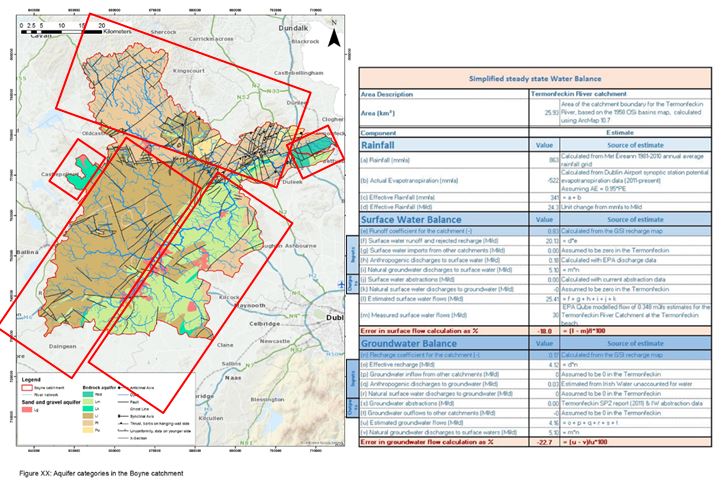
- Water Balance
Contact groundwaterinfo@gsi.ie for further information.
