Marine and Coastal Unit
Our largest Marine and Coastal project is INFOMAR which together with the Marine Institute, maps the Irish seabed and provides key baseline data for Ireland’s marine sector. We also participate in several EU marine related projects.
INFOMAR mapping waters of the Burren & Cliffs of Moher UNESCO Global Geopark
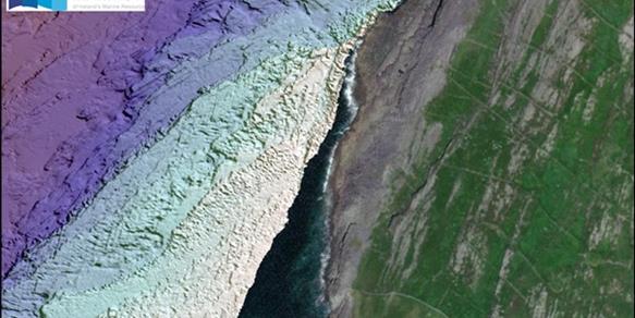
The 2023 INFOMAR inshore survey season has kicked off along the Burren & Cliffs of Moher UNESCO Global Geopark.
Retirement of the RV Celtic Voyager
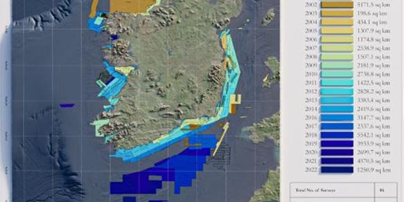
The R.V. Celtic Voyager retires after 25 years of service and 86 Hydrographic Survey Expeditions.
The Real Map of Ireland
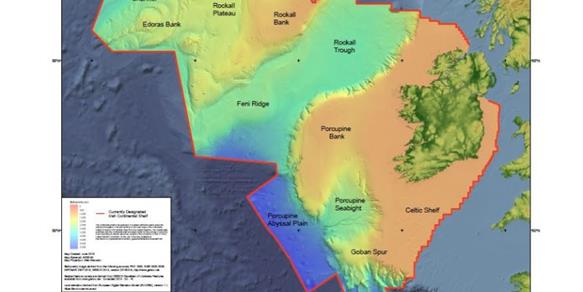
Ireland’s marine territory extends more than 10 times our land mass. Download map (PDF)
INFOMAR Seminar | 21 February 2022
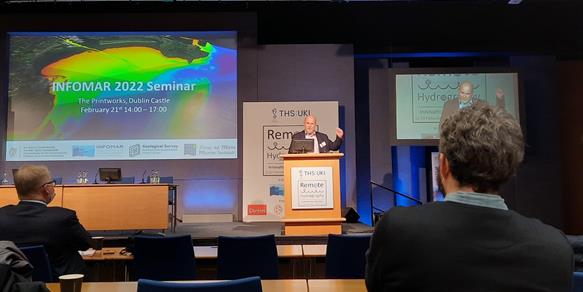
INFOMAR hosted a successful and long awaited in-person event in The Printworks, Dublin Castle.
Related News

22 May 2026
INFOMAR Launches Blue Scale Island Series featuring Inishtrahull

13 May 2026
5 Graduate Geologist positions now available at Geological Survey Ireland
Related Publications

17 April 2025
An assessment of the impact of the Geological Survey Ireland Research Funding Programme

09 May 2024
The Geological Heritage of County Cork