How and Where We Work
We use different types of equipment to fulfil our mapping duties, whether on land, offshore or from the air. Technology complements our traditional mapping techniques. It supports us in drawing an ever more accurate picture of Ireland’s seabed and help us to better understand the ground beneath our feet.
Activity Map 2025
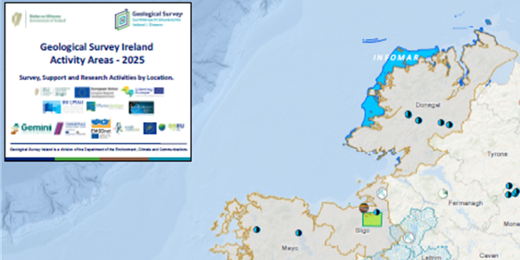
Find out where we will be working this year
Drilling Activities
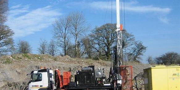
As part of our activities, drilling is essential. See our Frequently Asked Questions for further information
Where We Work
We compile activity maps each year to highlight where our various programmes will be carrying out work.
Related News

13 May 2026
5 Graduate Geologist positions now available at Geological Survey Ireland

26 February 2026
Geological Survey Ireland Lecture on ‘Why does net zero need geoscience?’ at Royal Irish Academy
Related Publications

22 July 2024
GW3D Project Report – Castledermot Sand and Gravel Aquifer

22 July 2024
GW3D Project Report – Coolane Sand and Gravel Aquifer