Geohazards
Tsunami Hazard and Response. Open
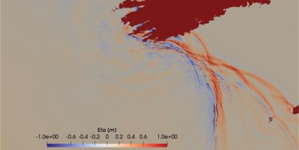
Historical records, current research and initiatives to better understand and respond to tsunami risk in Ireland
National Landslides Mapping. Open
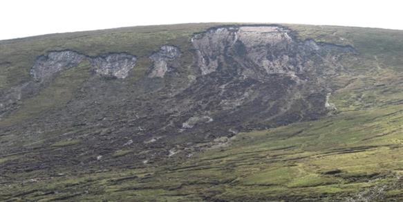
GSI has developed and maintains the National landslide database and National Landslide Susceptibility map
Irish National Seismic Network. Open
DIAS operates and maintains the Irish National Seismic Network with GSI monitoring earthquakes in Ireland and beyond
Groundwater Flooding. Open
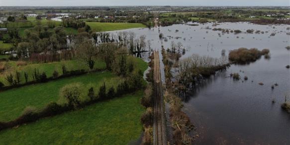
GWFlood is a groundwater flood monitoring and mapping programme aimed at addressing knowledge gaps
Projects
Landslide Susceptibility Mapping
PanGEO Terrain Motion
GWFlood Groundwater Flooding
Peatland Failures 2020
Activities
The Geohazards programme coordinates landslides mapping, karst features mapping and participates in an international tsunami detection and alerting system.
Related News

25 June 2026
Geothermal Webinar

13 May 2026
5 Graduate Geologist positions now available at Geological Survey Ireland
Related Publications

17 April 2025
An assessment of the impact of the Geological Survey Ireland Research Funding Programme

5 July 2023
Geothermal Policy