Minerals
Minerals data and maps available include Minerals Prospectivity Mapping (MPM) Project, Mineral Exploration Boreholes, Mineral localities, Quarry directory, Aggregate Potential Mapping and Exploration records/Open file.
Minerals Prospectivity Mapping (MPM) Project
Exploration Records (‘Open File’)
Mineral Prospectivity Mapping (MPM) Project
Northwest Midlands Carboniferous historic soil geochemistry.
| Type | Access |
|---|---|
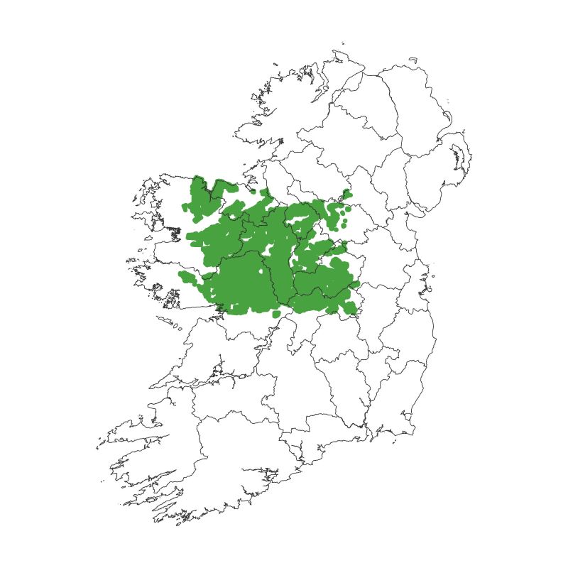 | Sample Media: Soil (various depths).Coverage: Galway, Roscommon, Mayo, Sligo, Leitrim, Longford, along with parts of Cavan, Westmeath and Offaly.Dataset: Merged database of digitised historic third party private sector soil data is compiled from three sources:i) Geological Survey Ireland: Compilation and digitisation of historic third party private sector soils data from the ‘Open File’ historic minerals exploration data.ii) Vedanta Exploration Ireland Ltd. ‘Geochemistry Compilation Project: Compilation of shallow soils published by the Geoscience Regulation Office (GSRO) in 2020.iii) Geoscience Regulation Office: Recent and historic (‘Legacy’) third party private sector soils datasets submitted to the GSRO by exploration companies under the terms of their prospecting licences and made publically available.This merged database includes locations and reported assays (mainly Cu, Pb and Zn), along with any information on the original data source, reporting companies, survey years and analytical methods, if available.Survey years: 1960s to 2010sData release notes |
| MPM Historic Soils (File Geodatabase) | link to zip file (122 MB) |
| MPM Historic Soils (Excel files) | link to zip file (112 MB) |
| Further details | link to MPM project page |
Northwest Midlands geophysical lineaments.
| Type | Access |
|---|---|
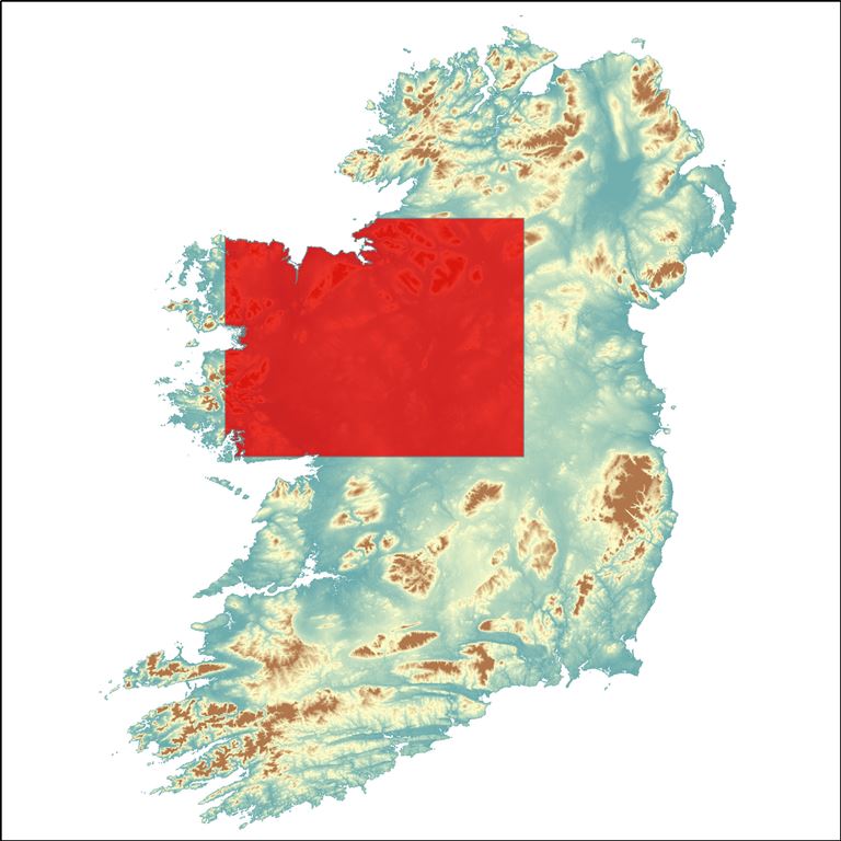 | Structural lineaments picked in Tellus airborne geophysical maps across the Northwest Mineral Prospectivity Mapping (NW MPM) project area.Report (12 MB) |
| Geophysical Lineaments Vector Data | File Geodatabase (3 MB)Shapefiles (2.5 MB) |
| Magnetic Data | Link to zip file (114 MB) |
| Electromagnetic Data | Link to zip file (122 MB) |
| Further details | link to MPM project page |
Mineral Exploration Boreholes
These boreholes were drilled to find minerals, oil, gas, water or to find out more about geology. The data shows the location of the boreholes drilled in Ireland from 1957 to 2002. They were submitted to the GSI from mineral exploration companies.
| Type | Source |
|---|---|
| Data Download | Zip file (Shapefile) or Zip file (Excel) |
| Map Viewer | Link to viewer |
| Web Services | REST Service or WMS |
| Goldmine | Link to GOLDMINE |
Mineral Localities
Minerals are naturally occurring; they are not made by humans. They are inorganic in that they have never been alive and are not made up from plants or animals. They are solid, not liquids (like water), or gases (like the air around you). Each one is made of a particular mix of chemical elements arranged in a particular way. Minerals mined in Ireland include gypsum, copper, lead and zinc. Most rocks that we see today are made of minerals (they are the ‘ingredients’ in rocks). This data map shows locations where minerals have been found in Ireland.
| Type | Source |
|---|---|
| Data Download | Zip file |
| Map Viewer | Link to viewer |
| Web Services | REST Service |
Quarry Directory 2014
The Quarry Directory 2014 provides information on crushed rock, sand and gravel, and dimension stone operations throughout the country.
| Type | Source |
|---|---|
| Data Download | Zip file |
| Map Viewer | Link to viewer |
| Web Services | REST Service |
| Directory | Link to publication |
Aggregate Potential Mapping
The Aggregate Potential Mapping (APM) shows the potential for crushed rocks and for sand and gravel. The APM also shows the inventory of active and historical quarries and pits in Ireland, as known in 2014.
| Type | Source |
|---|---|
| Data Download | Zip file |
| Map Viewer | Link to viewer |
| Web Services | Rest services |
Exploration Records (‘Open File’)
GSI holds Exploration Company Reports relating to many current and retired Prospecting Licence (PL) Areas.
| Type | Source |
|---|---|
| Map Viewer | Link to Mineral Exploration and Mining Web Applications hosted by Geoscience Regulation Office (GSRO) |
| Goldmine | Link to Goldmine |
Core store
| Type | Source |
|---|---|
| Catalogue | Excel spreadsheet |
| Core viewing | See details (redirect to Core store page) |