Geological Mapping
The Geological Mapping programme creates maps that depict the rocks and sub-soils of the onshore area of Ireland. We collect new data by field surveying and borehole drilling, and combine them with existing mapping to produce map products at various scales and levels of complexity. Our aim is a seamless, maintained, online data set of bedrock and subsoils geological mapping that is reliable, accessible and meets the requirements of all users.
Release of the Arup/TII Dublin City Calp model. Open
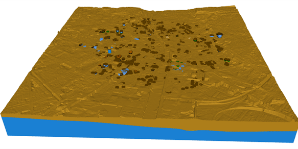
Model of the Calp limestone in Dublin City Centre. It was produced by Arup for TII using Leapfrog software
7th European Meeting on 3D Geological Modelling. Open
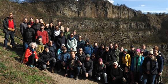
7th European Meeting on 3D Geological Modelling took place in Warsaw from the 7th to the 11th of May 2025
New models added in the 3D geological viewer. Open
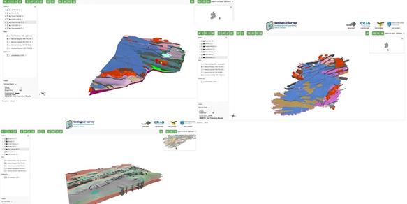
Three more 3D geological modelas have been added to the 3D viewer
Projects
3D Geological Models
Depth to Bedrock Map
Quaternary Map of Ireland
Physiographic Units Map
Carboniferous Stratigraphy of North West
Borehole Database EPOS
HotLime
Bedrock Geology of the UK and Ireland
Coastal Vulnerability Index Mapping
Activities
The Geological Mapping Programme activities comprise Quaternary field mapping and Bedrock data compilation, maintaining the national geotechnical database, drilling and answering public enquiries.
Research
Research within the Geological Mapping Programme mainly contributes to improving the understanding of the geology of Ireland.
We also participate in European geoscience research projects and initiatives where Irish interests are concerned.
Related News

13 May 2026
5 Graduate Geologist positions now available at Geological Survey Ireland

30 April 2026
INFOMAR Final Phase
Latest Publications
29 April 2025
Updated Blue Book

17 April 2025
An assessment of the impact of the Geological Survey Ireland Research Funding Programme