Irish National Seismic Network

Dublin Institute for Advanced Studies (DIAS) operates and maintains the Irish National Seismic Network (INSN); a network of seismometers installed across Ireland to detect earthquakes. Geological Survey Ireland formalised a new partnership with DIAS in 2018 and both invested a total of €1.5m to support and expand the network resulting in more stations, greater coverage and more accurate recording of earthquakes in Ireland.
M2.6 and M2.3 Rockall Trough earthquakes 31 Mar 2021
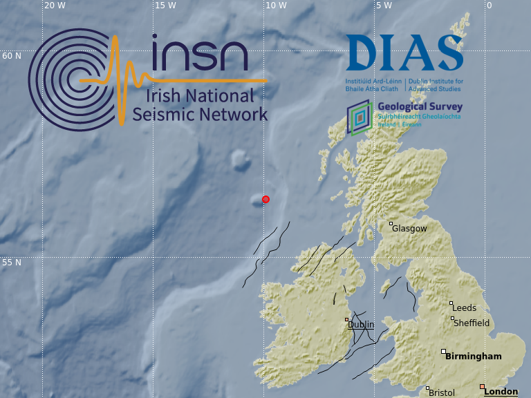
On the 31 March 2021 at 02:47:08 UTC, a magnitude M2.6 earthquake occurred in the Rockall Trough near the Hebrides Terrace Seamount, approximately 210 km north-northwest of Ireland. It was preceded by a magnitude M2.3 earthquake at the same location, occurring at 00:05:02 UTC.
M2.5 Porcupine plain earthquake 26 Nov 2020
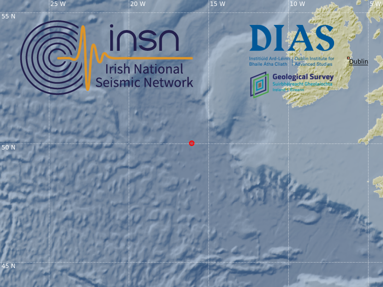
On the 26 November 2020 at 04:29:59 UTC, a magnitude M2.5 earthquake occurred located approximately 460 km west-south-west of Kerry in the Porcupine Abyssal Plain.
M1.3 Irish Sea earthquake 17 Sep 2020
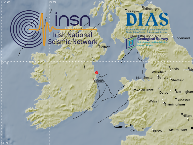
On the 17 September 2020 at 17:31:40 GMT, a magnitude M1.3 earthquake occurred in the Irish Sea approximately 2 km offshore Skerries, North Dublin. The earthquake occurred at a depth of 14 km.
M0.6 Irish Sea earthquake 14 May 2020
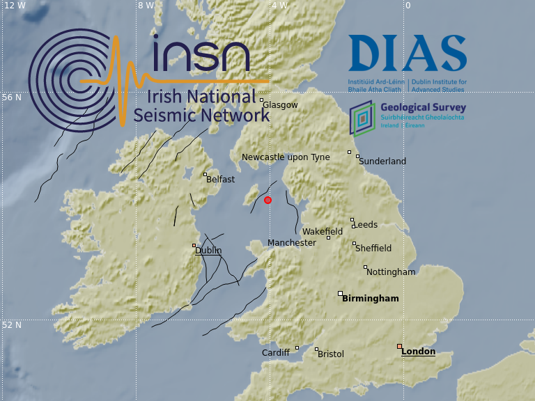
On the 14 May 2020 at 03:52:54 UTC, an earthquake of magnitude M0.6 occurred in the Irish Sea. The earthquake located approximately 20km east of the Isle of Man, and occurred at a depth of 3km.
M0.9 Irish Sea earthquake 25 Apr 2020
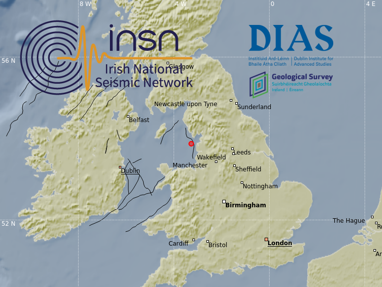
On the 25 April 2020 at 04:11:52 GMT, a magnitude M0.9 earthquake occurred in the Irish Sea approximately 15km off the English coast north of Blackpool.
Seismic noise change during Covid-19
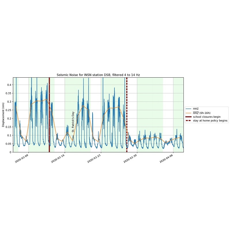
Instruments operated by the INSN track ground motions from natural phenomena, such as earthquakes, but also human-made ground vibrations, so-called ‘seismic noise’. After the lockdown started on the 28th March 2020, some INSN stations detected seismic noise levels significantly lower than before the lockdown.
M2.5 Irish Sea earthquake 15 Dec 2019
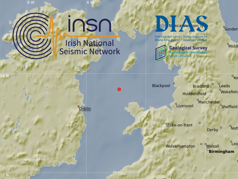
On 15 December 2019 at 21:19:52 local time, a magnitude 2.5 earthquake occurred in the Irish Sea approximately 90 km north-east of Dublin and 40km south of the Isle of Man.
M2.1 Donegal earthquake 29 Apr 2019
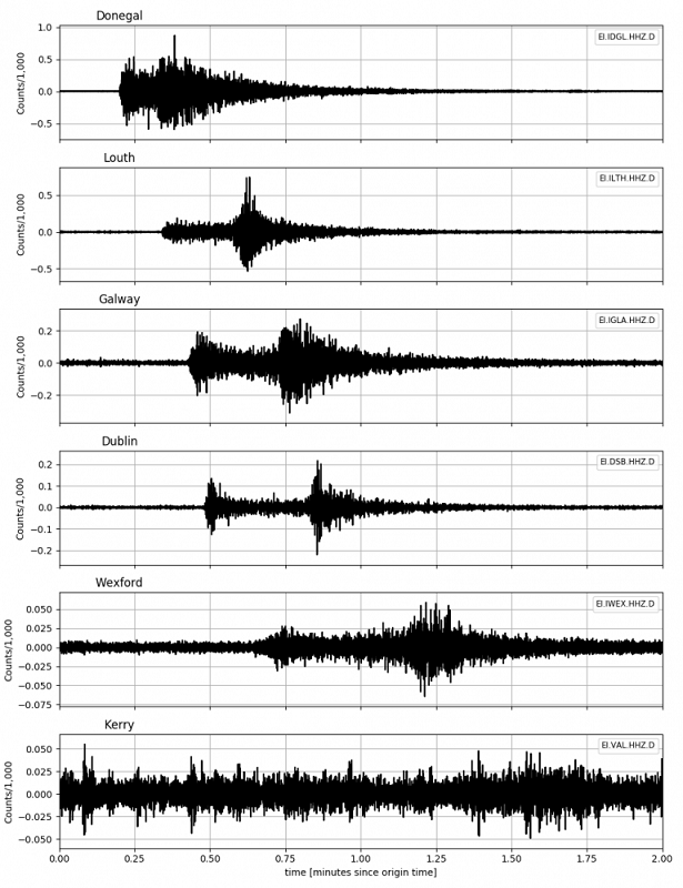
A magnitude 2.1 earthquake occurred in Co Donegal at 21:18 (local time) on Monday April 29, 2019. The earthquake was detected by seismometers around the country of the Irish National Seismic Network. The epicentre was approximately 15km southeast of Donegal town, 15km northeast of Ballyshannon and there are reports of it having been felt in Counties Donegal, Leitrim and Fermanagh.
M2.4 Donegal earthquake 7 Apr 2019
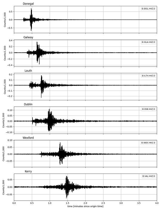
A magnitude 2.4 earthquake occurred in Donegal Bay just before midnight on Sunday April 7, 2019. Earthquake events such as the one experienced by people in Donegal are not uncommon in the region.
€1.5m investment to upgrade the INSN

Geological Survey Ireland and Dublin Institute for Advanced Studies are to invest €1.5m to expand and upgrade the Irish National Seismic Network. New funding will result in more stations, greater coverage and more accurate recording of earthquakes in Ireland.