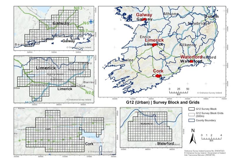
Most of the time the Tellus soil samplers work in rural locations. However, starting this week, our soil sampling teams will begin their work in the urban areas of Galway, Limerick, Cork, and Waterford (G12 Block).
The samples are taken from a 500 square meter grid. In these grids the samplers will use an augur to take two 1kg samples; a shallow topsoil sample (labelled A) at 5-20cm and a deeper topsoil sample (labelled S) at 35-50cm (more information is available about sampling techniques here). When the samples are collected, they will be tested for various geochemical elements, the results will then made available online and added to the current geochemical map of Ireland available here.
The geochemical data obtained from the Tellus Survey can highlight chemical variations, whether man-made or naturally occurring. This data can reveal the impact of previous industrial activities and can provide insights into the chemistry of the underlying rock.
The Tellus survey, run by Geological Survey Ireland, aims to gather nationwide geochemical and geophysical data on Ireland's rocks, soil, and water. By analysing these samples, we can improve the accuracy of geological maps and assess things like environmental health, soil nutrients, and trace elements. The survey's findings, particularly in rural areas, can highlight regional differences in soil characteristics. This can directly influence soil fertility and grass production, which can be particularly useful for local farmers. All data collected from the survey will be accessible to the public for free on the website www.tellus.ie.
When the urban sampling is complete, the samplers will turn their attention to rural Kerry, Cork and Waterford.