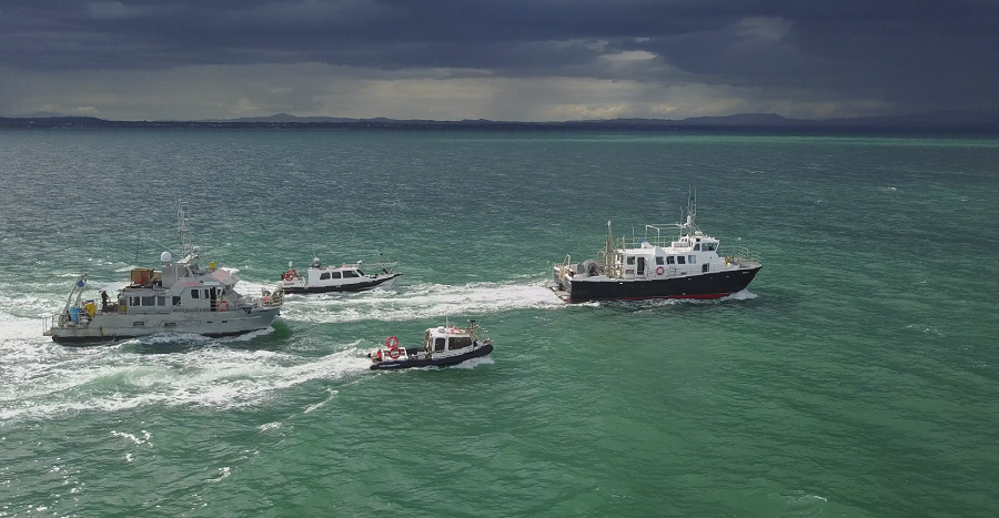
Minister for Climate, Energy and the Environment Darragh O’Brien has secured approval for the completion of the INFOMAR (Integrated Mapping for the Sustainable Development of Ireland’s Marine Resource) programme. INFOMAR, a joint venture between Geological Survey Ireland (GSI) and the Marine Institute, aims to map of all of Ireland’s offshore territory – an area that is 10 times the size of Ireland's landmass, at just under 1 million square kilometres.
The final phase of the INFOMAR programme will take place from 2027 to 2029 and will map the most challenging and shallowest final 125,000 square kilometres, to complete what has become known as ‘The Real Map of Ireland’. Survey operations are scheduled from March to October each year in 2026, 2027 to 2028, with a final year of data processing in 2029.
- INFOMAR programme will continue to support the development of key maritime policies and industries
- Programme will now map the most challenging area, to complete what has become known as ‘The Real Map of Ireland’
- Ireland will become the first nation in the world with a significant maritime area to meet this challenging objective
Further details can be found
here.