Ireland's seabed holds everything from deep canyons to shipwrecks and vital habitats. In 2025, INFOMAR continues its annual inshore and offshore mapping efforts, combining upgraded technology, high-resolution data collection, and new talent to further expand the nation's marine knowledge.
This year began with the RV Tom Crean undergoing a major upgrade, installing a Kongsberg EM712 multibeam echosounder to expand its mapping depth to 3,000 metres. Following a successful sea acceptance trial in the Beaufort Dyke, the vessel completed offshore survey legs across the Celtic Sea and continental shelf edge, revealing over 4,700 km² of new seabed coverage and uncovering several previously uncharted shipwrecks.
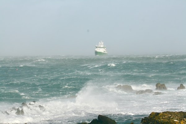
Figure 1: R.V. Tom Crean in stormy conditions. Image by Geoffrey Wood
In parallel, the Tom Crean hosted students from the Smart Sea School programme. Ricardo Mendes, Gervaise Barre, and Sofia Viotti joined the offshore team, gaining hands-on experience in hydrographic surveying, sonar calibration, and seabed data analysis. Their discoveries included multiple unlisted wrecks—read more about their experience at Scientists at Sea.
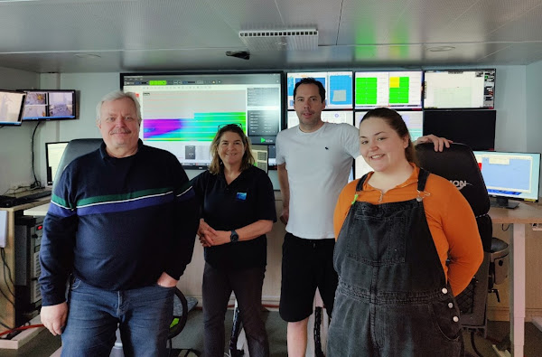
Figure 2: Slava Sobolev, Vera Quinlan, Kevin Sheehan (Chief Scientist), and Gervaise Barre
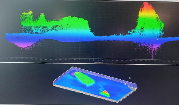
Figure 3: Seabed data showing uncharted shipwreck
Based out of Burtonport, INFOMAR's inshore survey operations are well underway. The RVs Keary, Mallet, Galtee, and Lir have been surveying Ireland's intricate west coast, including the challenging waters off Donegal. These shallow and often unmapped zones are critical for navigation safety, environmental protection, and coastal planning.
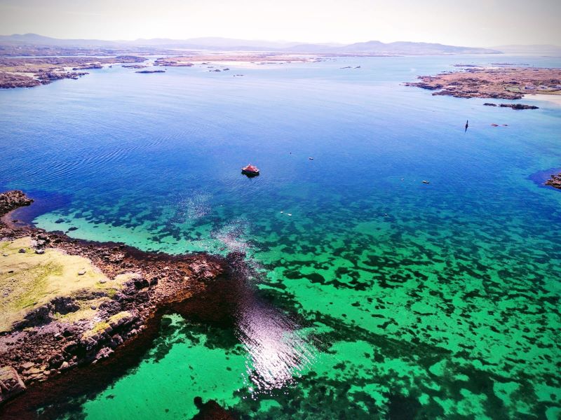
Figure 4: Photograph of coastal Donegal by surveyor David Bannon
Together, INFOMAR's inshore and offshore operations offer a detailed and unified vision of Ireland's marine landscape. By combining cutting-edge technology with local precision, the programme supports maritime safety, heritage preservation, and sustainable development. With more surveys to come, the 2025 INFOMAR season is already shaping up to be a landmark year in unlocking the secrets of Ireland's seabed.
INFOMAR is a 20-year programme funded by the Department of the Environment, Climate and Communications (DECC), jointly managed by Geological Survey Ireland and the Marine Institute.